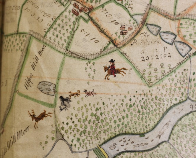
This impressive volume was the subject of a temporary export ban by the Culture Minister in 2012. The restriction was enforced because of the rarity of the item and its unique value for local and national historians. It contains a wealth of maps of outstanding quality depicting parts of the 18th century Herefordshire landscape in fine detail.
The atlas comprises a series of 15 estate maps, seven of which are on parchment, the rest on paper. Most of the maps, which cover the period 1698-1773, are accompanied by contemporaneous tables of reference and terriers. About half the maps date from the 1690s and were commissioned by Thomas Coningsby, 1st Earl Coningsby (1657-1729). They show how that consummate politician chose to advertise his landed wealth in order to advance his political career.
The outstanding features are, perhaps, two parchment maps of the Hampton Court demesne of 1699 and 1704. Lavishly coloured and in an excellent state of preservation, they depict the quintessential landscape of the English country house.
