In 2019 the Kent History and Library Centre was awarded a grant to acquire two contrasting items.
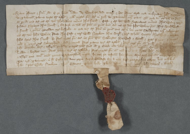
One is a title deed dated 6 January 1375 by which John Lowyn of Wincheap granted John Bertelot of Thanington four acres of land and one virgate of meadow in the parish of Thanington, now suburb of Canterbury to the south of the city. Before we acquired this deed, our earliest document relating to Thanington dated from 1429, so this is significantly earlier. The land is described in relation to the properties of adjoining owners, including Sir William Septvauns of the famous East Kent family, one of whose knightly relatives, Sir Robert de Septvans, is commemorated in a fine brass in Chartham church, and a woman, Juliana Rypieres. Several local landmarks are mentioned, such as Cockering, which can still be identified in present day Thanington, and a lane called ‘Kersbroke’ and a place called ‘Sandpette’. The virgate of meadow adjoined Canterbury Cathedral Priory’s meadow called ‘Selererismed’, presumably something like ‘Cellarer’s mead’. The deed was dated at Thanington and concludes with a list of seven witnesses.
The seal attached to the deed is fragmentary, but it seems to show two human figures facing each other with perhaps a third figure between them (possibly Adam and Eve and the serpent?); unfortunately, the legend is illegible.
The deed bears two late 14th- or early 15th-century endorsements but, tantalisingly, we have no information about its provenance.
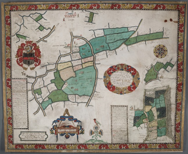
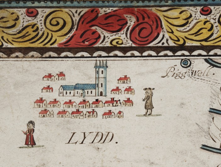
The other document is a map of lands in the parishes of Midley, Old Romney, Lydd, Kenardington, Warehorne and Woodchurch, dated 1687. It is lavishly decorated, with stylized foliage, scrolls and strapwork in red, blue and gold and in the base is a red-breasted, black-headed bird with green wings and tail, perched on a very large flower with white and blue petals. The map is further enriched by an achievement of the arms of the landowner, William Tyndall, who purchased the lands from the heirs of Sir Thomas Godfrey.
The map was produced by Thomas Hill of Canterbury (fl. 1677-1689), who describes himself as a sworn surveyor, the founder of a dynasty of notable East Kent mapmakers. The Kent History and Library Centre has some other fine examples of Hill’s work, but none so beautifully and lavishly decorated as this.
Map bought from The Pedestal (4 March 2019, Lot 245)


