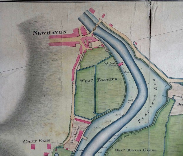
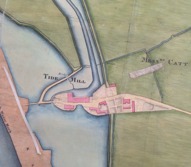
This survey, illustrated with maps, was made for Thomas Lennard, Lord Dacre, by Samuel Crouch, who described himself as ‘the meanest of his lordship's domestick servants’. Including over 100 tenements in six parishes, it is in a paper volume bound in parchment; the tenements are described on the left-hand pages and on the facing pages are coloured maps which show buildings, acreages, some fieldnames, the names of neighbouring owners and roads. The descriptions give details of buildings, tenure, acreage, boundaries, quantities of the timber and underwood with its value, the annual quitrent and references to the court rolls, many of which no longer survive. All entries are annotated with the names of subsequent owners to 1742, and (in pencil) to circa 1800.
Cartographic material is one of the greatest strengths of the East Sussex Record Office. It is not difficult to justify the acquisition of estate maps by an archive repository. Maps convey a large amount of information in a very small space; they capture the appearance of a locality at a moment in time; they convey information of value to the local historian, biographer, historic buildings specialist and student of place-names; and of all the types of document in a local record office they are among the most readily accessible to an inexperienced user.
The acquisition of this document, forming as it does the last fragment of the surviving records of the manors which it represents, is of paramount importance for East Sussex Record Office

