Super Clementinis Constitutionibus
British Library
Bound with Judiciarius ordo by the same author, also printed at Paris by the Printer of Ockam, 1476. The latter printer was not previously represented in BL collections.

Bound with Judiciarius ordo by the same author, also printed at Paris by the Printer of Ockam, 1476. The latter printer was not previously represented in BL collections.
A volume of 180 vellum leaves serving as a key to John Probert's maps of Doddington and Broughton, the two seats of the Delves Broughton family, already held by Cheshire and Chester Archives.
This is the earliest survey of the temporalities of the See of Canterbury to survive and contains much matter copied from earlier, now lost, documents
Owen Simons, Collections Archivist, writes: Dorset History
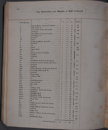
34 maps surveyed by Richard Davis, Topographer to George III. All are coloured and elaborately detailed, and bound together, they have the appearance of a fair copy as opposed to a working survey.
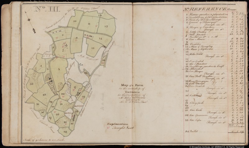
Sal Mager, Senior Archivist, writes: Estate maps can often be very large and imposing.
This map depicts the manor of Trotton and Cumbers Farm, owned by Laurence [Lawrence] Alcock, lord of the manor of Trotton.
The family of Stourton had associations stretching back to 11th century with the place of that name which was the centre of its estates in Wiltshire, Somerset, and Dorset.
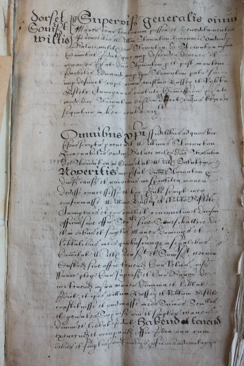
This survey, illustrated with maps, was made for Thomas Lennard, Lord Dacre, by Samuel Crouch, who described himself as ‘the meanest of his lordship's domestick servants’.
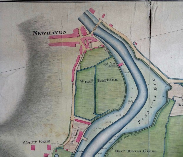
This volume provides a full survey of the estates of William Richardson in 1774, including a perambulation of the Manors of Rogate Bohunt and Clarks Dean.
Calf binding with gold tooling and unusual stamp of the royal arms of James I not found on any other book in BL, apparently dated 1611
A map of the Kingdom of Slavonia and the Duchy of Syrmia drawn after the signing of the Peace of Passarowitz, 1718, to depict territories annexed to the Austro-Hungarian Empire from the Turks.